NPDES MS4 Part I Permit Application,
Columbia County, Georgia
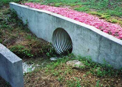
EMA, as a joint venture with KHAFRA Engineering, assisted Columbia County with the preparation of their MS4 Part I Permit Application. The Part I Permit Application involved the identification of all outfalls within the County, development of a Geographic Information System (GIS) to maintain comprehensive information for source identification and record keeping, collection of discharge characterization data, dry weather screening of 100 outfalls (per 40 CFR Part 136) and development of a storm water quality characterization plan, which was implemented during the Part II application process. Existing GIS data was assimilated from a multitude of sources into a GIS database to aide Columbia County with their National Pollutant Discharge Elimination System (NPDES) stormwater permit application.
Field-located storm sewer structures were digitized into the GIS, including physical characteristics noted during field reconnaissance. Customized programs were created to automatically generate structure identifiers using geographic location and drainage basins. Sampling results were associated with the appropriate structures to allow various spatial analyses and developed a custom application for the County.

